A Brief History of Hornsey Town Hall

Hornsey’s history as a parish and administrative area goes back to at least the 13th century. For most of that time, Hornsey was a rural backwater in the county of …
This section contains a wide range of articles about the history of the area.

Hornsey’s history as a parish and administrative area goes back to at least the 13th century. For most of that time, Hornsey was a rural backwater in the county of …
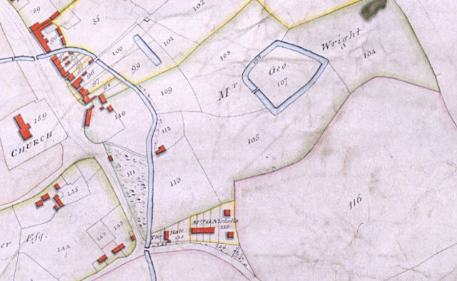
The Ordnance Survey was established in 1791 and the survey commenced in 1794 the first sheets to a scale of one inch to a mile were published in 1801. We …
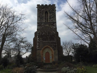
The tower was built as part of the medieval church of St Mary when Hornsey was a small rural village in Middlesex. The lower part of the tower is medieval, …
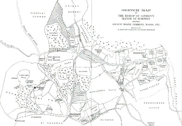
Hornsey, established as a settlement in the pre-Conquest county of Middlesex, is a name with Anglo Saxon origins and derives from the Old English name Heringes-hege (with the ‘g’s pronounced …
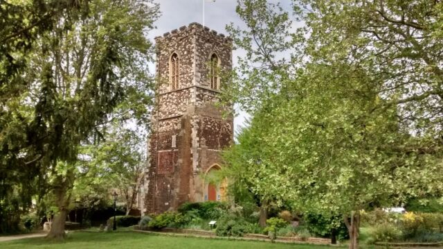
Today, all that remains of St Mary’s Church is its bell tower, standing in the former churchyard, a little back from Hornsey High Street. St Mary’s Tower is a focal …
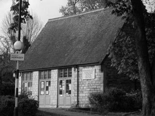
There had been talk of the need for a local history society in Hornsey as long ago as 1909 but despite early efforts nothing was achieved until 1971. On 29th …
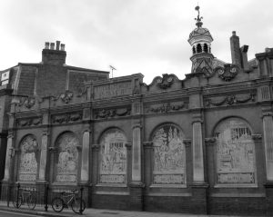
The name Stroud Green signifies a wet, marshy place, overgrown with brushwood and liable to flooding. Stroud Green, near Highbury, was first mentioned in 1403 when it was no more …
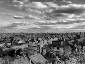
Until the end of the 19th century Muswell Hill remained a rural area of pasture, woods and open spaces situated on the edge of a glacial plateau overlooking the Thames …
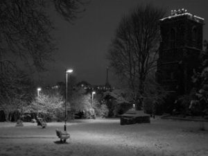
The village of Hornsey has been submerged for well over a century in the suburbs of North London. Its name is of Saxon derivation and its history probably goes back …
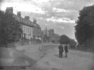
The name Highgate has for centuries been taken as a simple statement of fact: ‘high-gate’, i.e. the former tollgate between the High Street and North Road at the highest point …